Services
Our Key Services
We focuses on delivering digital data derived from aerial and satellite imagery, with a primary emphasis on aerial triangulation as part of its standard services.
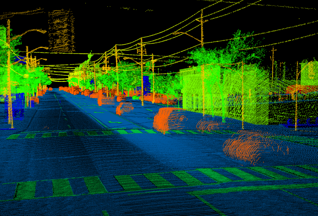
Aerial Lidar (Light Detection and Ranging) is a technology utilized for aerial mapping, which employs calibrated laser reflections from the Earth’s surface.
D models of airport terminals are utilized in a range of systems and applications, including construction and facility management.

We focuses on delivering mapping solutions tailored for the transportation sector, enabling the industry to obtain comprehensive data.
Building information modeling (BIM) is an intelligent multi-dimensional model-based process. It provides every detail to AEC professionals needed to plan, design, construct, and manage buildings and Infrastructure.
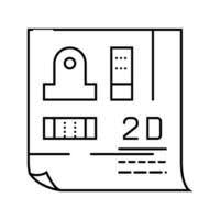
We offers high-quality drawing and drafting services. Our team specializing in 2D drafting possesses a strong comprehension of the requirements in architectural, structural, and civil engineering.